
Your map becomes the control room of the visitor experience
Itinemap turns your illustrated map into an intelligent interactive map: on-demand routing, live data (openings, crowd levels, ...) and visitor analytics.
- Ski resorts, winter & summer
- Zoos
- Theme parks
- Nature parks
- Tourist offices
- Campsites
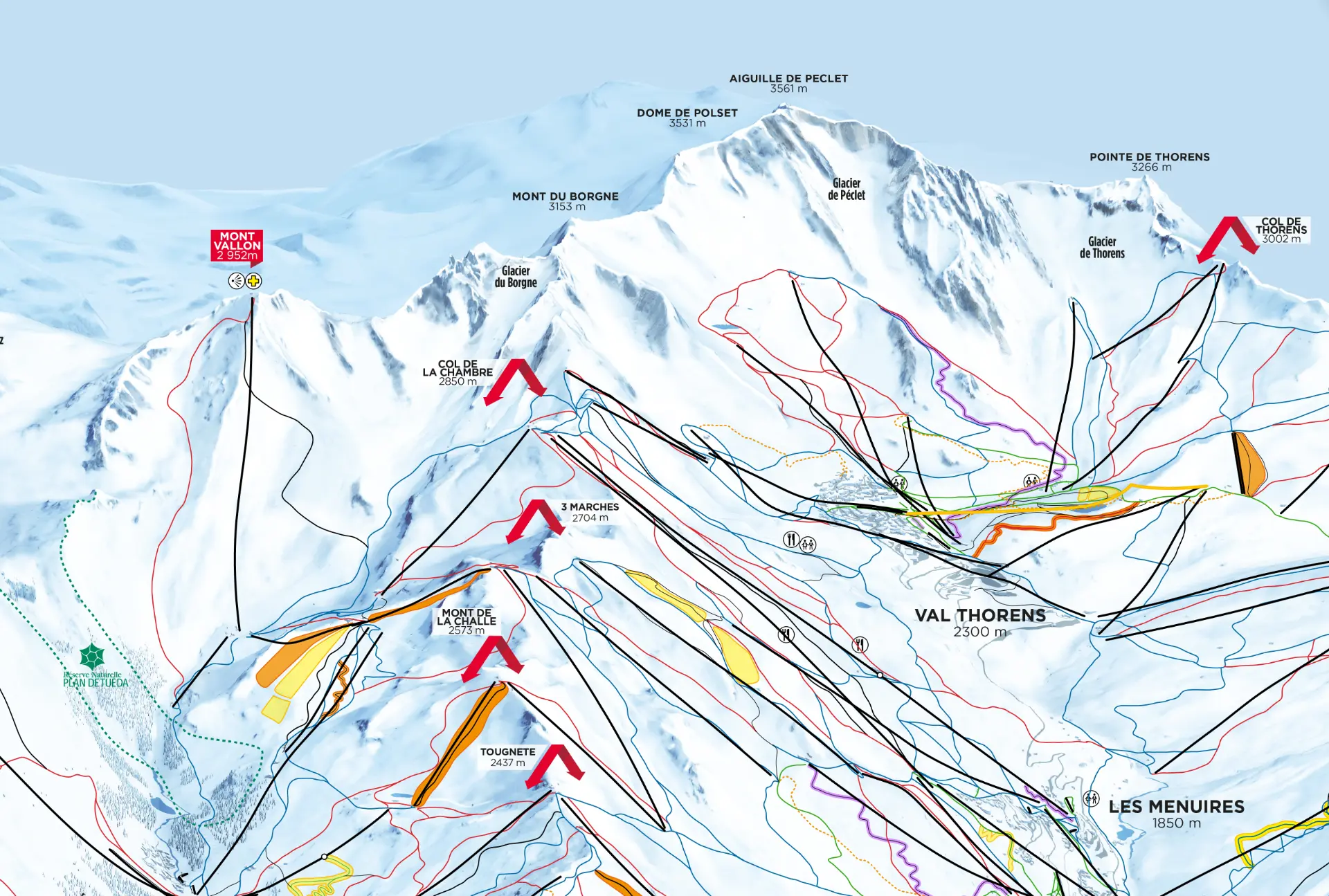
- 130,000+
- map loads — Baqueira/Beret, 2025-2026 season
- 80,000
- GPS location requests in a single season — Baqueira/Beret
- +30%
- engagement uplift in the first year
- < 2 s
- to compute a route among more than 1M possibilities
What makes an Itinemap map valuable
Six pillars that guide every project, from the first conversation to the next season.
Your artistic map, extended
Your map is already recognisable at a glance: it is the first bond you share with your visitors. Itinemap adds interactivity without ever altering its identity.
Visitors in control
Every visitor stays in control of their day, from the first to the last turn — and makes the most of their time on your territory.
Data that drives decisions
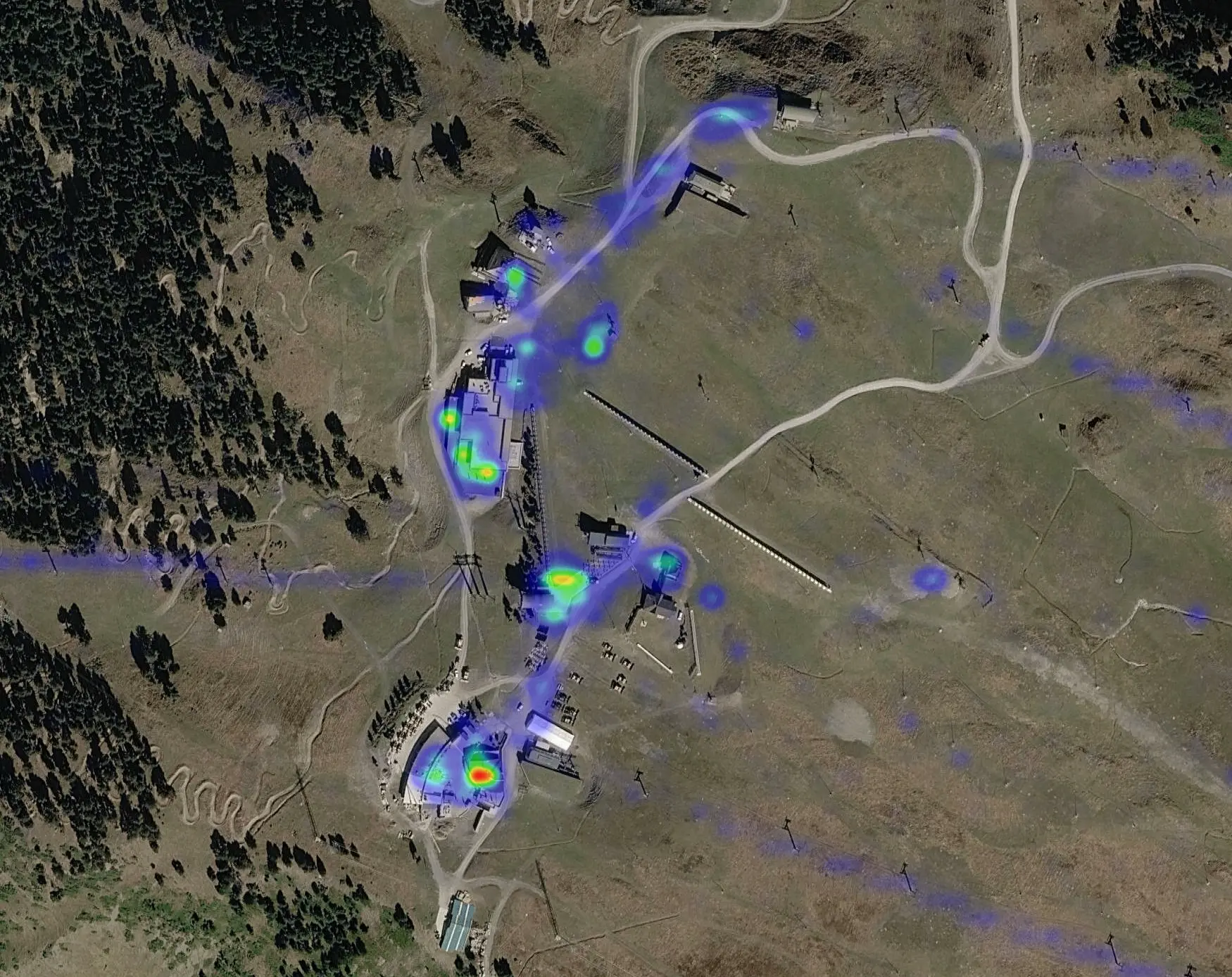
The map becomes a data source: heatmaps, requested routes, popular points of interest. Your decisions rest on facts.
A configurable Google Maps
Itinemap relies on your official data and stays fully under your control: the reliability of a major standard, tailored to your territory.
Every outdoor territory
Ski resorts, bike parks, hiking trails, zoos, tourist offices, campsites: the same discovery challenge, the same quality.
A light integration
Start from your existing map, connect it to your information system and turn information into experience — without replacing anything.
Already steering their visitor experience with Itinemap
 Compagnie des Alpes
 Les 3 Vallées
 Baqueira Beret
 Serre Chevalier Vallée
 Pralognan-la-Vanoise
 Grand Massif
 Zoo de Jurques
A living map, always up to date
Your illustrated map is preserved and augmented: precision georeferencing, computed routes, rich content and real-time data.
On-demand routing
Visitors choose their destination and tailor their route to their needs and preferences.
Suggested itineraries
Offer inspiring routes to your visitors and optimise flows across your whole territory.
Extreme GPS accuracy
The density of georeferenced points on your map delivers GPS positioning accurate to the turn.
Real-time info
Openings, availability, equipment preparation status, weather, crowd levels. Your visitors make the most of their day.
Full autonomy
A simple back office: your teams create, edit, translate and publish content autonomously, in a few minutes.
API-first & connectors
Digisnow, Lumiplan, Affluences, Apidae... Connect your existing tools and bring all your projects to life with our API.
Every interaction becomes a decision
Heatmaps reveal where visitors look, search and move. Your operational decisions are finally backed by facts.
- Heatmaps of your visitor flows
- Most searched points of interest
- Route choices: destination and origin
- Compatible with every BI tool (Looker Studio, PowerBI ...)
Every outdoor destination
Ski resorts, bike parks, hiking trails, zoos, tourist offices, campsites: the same discovery challenge, the same quality.
Ski resorts
Alpine skiing, nordic skiing, ski touring, snowshoeing. The trail map that becomes an operating tool.
Explore the platform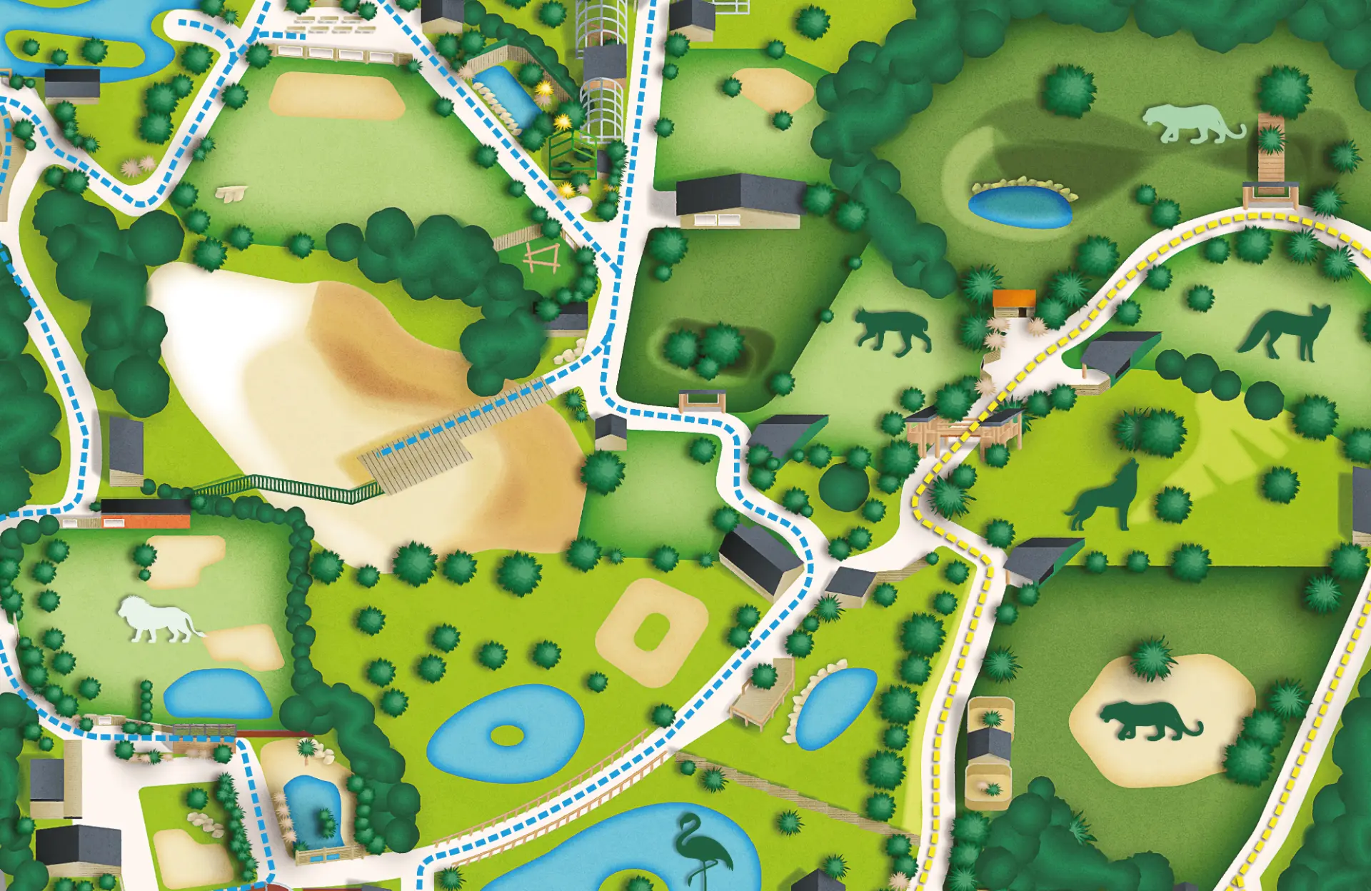
Zoos
Turn the stroll into a journey: families make the most of every moment.
Explore the platform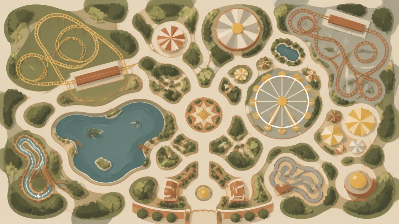
Theme parks
Less perceived queuing, more rides actually enjoyed.
Explore the platform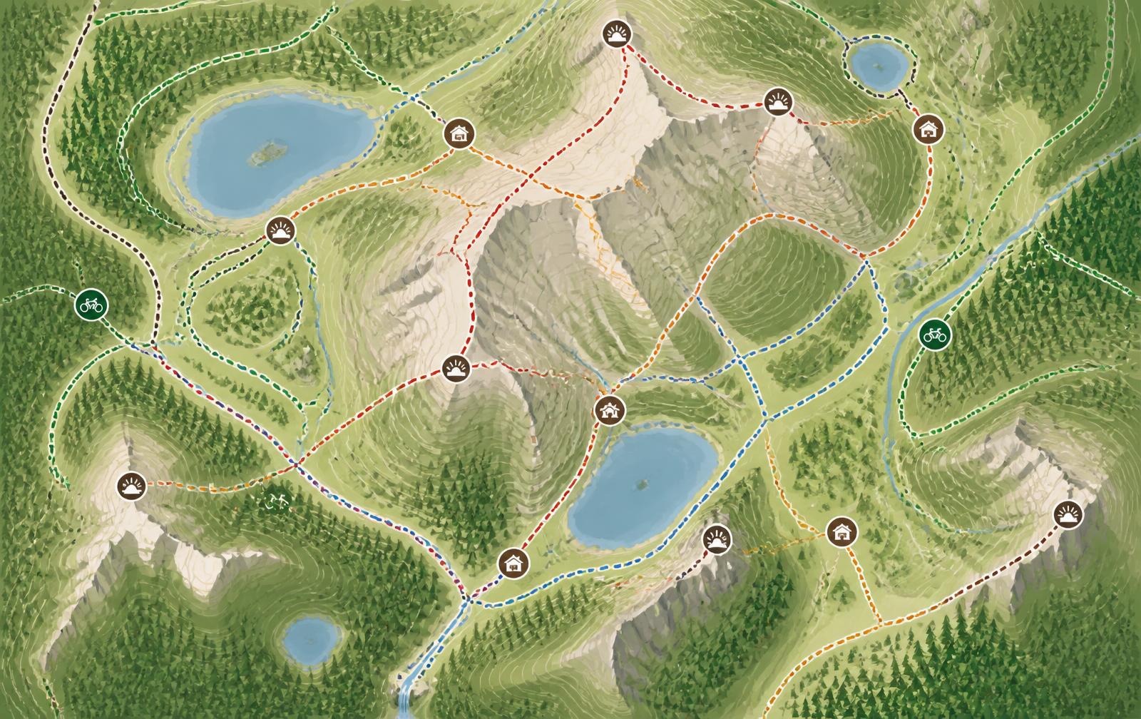
Four-season mountain: hiking, trail, bike park
Readable trails, interactive and inspiring content, visitors who enjoy the essentials.
Explore the platform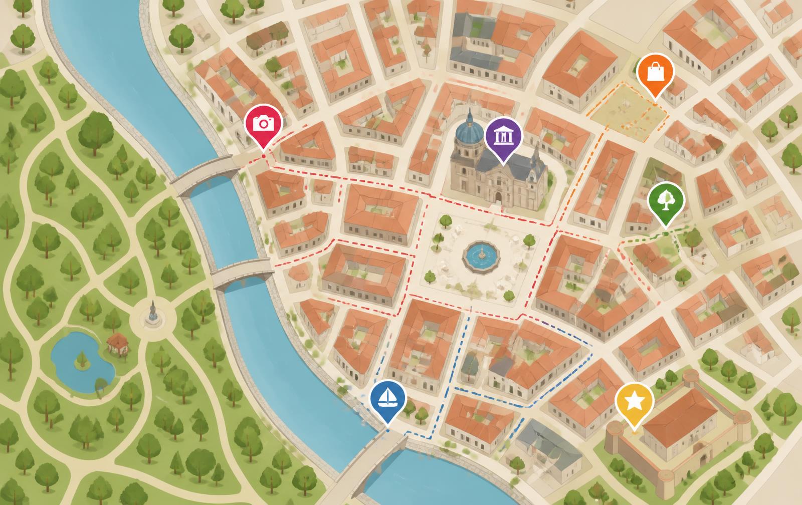
Tourist offices & destinations
Your territory's map, alive and managed in full autonomy.
Explore the platform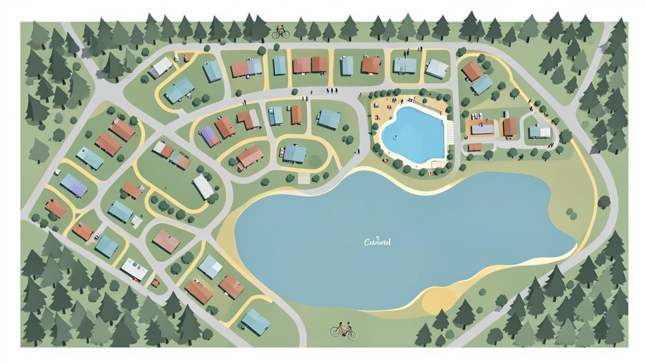
Campsites & holiday villages
Your campsite map, alive and guided, from the car park to the pitch.
Explore the platformYour mountain doesn't stop when the slopes close. Neither does your map.
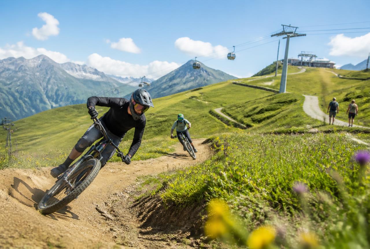
Bike park, hiking, trail running, MTB loops, explore games, mountain coaster or tubing: your resort offers many things to explore, well beyond the winter season. Itinemap showcases them just as well.
Winter
- Runs, lifts and open sectors in real time
- Routes calculated to match every skill level
- Grooming, weather and daily conditions aggregated
- Suggested routes
Summer
- MTB trails and bike parks, from green to black
- Hiking trails, family loops and running routes
- Resort activities: mountain coaster, tubing, explore games
- Customisable itineraries
Why destinations choose us
What concretely sets us apart from classic mapping solutions.
| Differentiation | Itinemap | Classic solutions |
|---|---|---|
| Business model | Clear subscription, modular pricing | Variable costs, billed by usage volume |
| Analytics | Heatmaps, route requests and trending included | Basic page statistics |
| Design | Your illustrated map respected and enhanced | Standardised base map |
| Visitor experience | Built for mobile in the field, no app to install | Generic interface, heavy journeys |
| Clients | Every type of destination, from the smallest to the world's largest ski area | Uneven references |
| API | Open API for your existing systems | Limited or paid integrations |
| On-demand routing | Computed in real time and customisable | On conventional maps only |
| Suggested itineraries | Curated by your own teams | Static lists |
| GPS accuracy | Dense, unlimited georeferencing | Rough map alignment |
| Autonomy | Self-service back office, instant updates | Dependent on the vendor |
| Translation | Native multilingual across all content | Partial translations |
| Real time | Live aggregation, crowd levels coming | Manual updates |
The proof in numbers
Results observed in the field, season after season.
- 10 to 20x
- more accurate than existing positioning solutions
- 250 m
- accuracy maintained even in the most demanding areas of Les 3 Vallées
- 80,000
- GPS positioning requests in the first year at Baqueira Beret
- +30%
- adoption of the new interactive map in the very first season
- 1,000+
- items displayed at once, with exploration that stays fluid
- < 2 s
- to compute a route among more than 1 million combinations
- 10 years
- of compatibility: from a 2018 smartphone to the latest model
- 3,800
- georeferenced points on the Les 3 Vallées map
They say it better than we do
« Being able to use the data freely is strategic for us. We were able to feed all the information we needed into our own application. Thanks to the tool, this opens up new perspectives for future functional developments. »
« Everyone can now find their way and plan their ski day more easily — with more flow and more peace of mind. »
« It's a solution that people have been waiting for for a long time. It responded to a real demand on the ground. »
« Congratulations to the team, the possibilities seem endless with this new tool. »
« We are working with a responsive team, directly connected to our needs. They propose concrete solutions and grow the product in line with our expectations. »
« Thank you Itinemap for this committed technology partnership. Let's bring biodiversity, innovation and responsibility together. »
Let's talk about your destination
A 30-minute call is enough to frame your project, timeline and budget.