
One simple conviction: a map should be understood at a glance
Itinemap is an independent, agile team bringing 20 years of user-experience expertise to outdoor territories.
Request a quoteMake every territory as readable as the great navigation standards
The artistic map is a precious heritage: Pierre Novat, James Niehues and Rad Smith shaped a visual language every visitor recognises instantly. Our role is not to replace it, but to extend it — with the power of modern cartography: positioning, routing, real time and data. Faithful, alive, carefully crafted.
- Extend cartographic heritage rather than standardise it
- Put technology at the service of the map, never the other way round
- Stay accessible to every territory, whatever its size
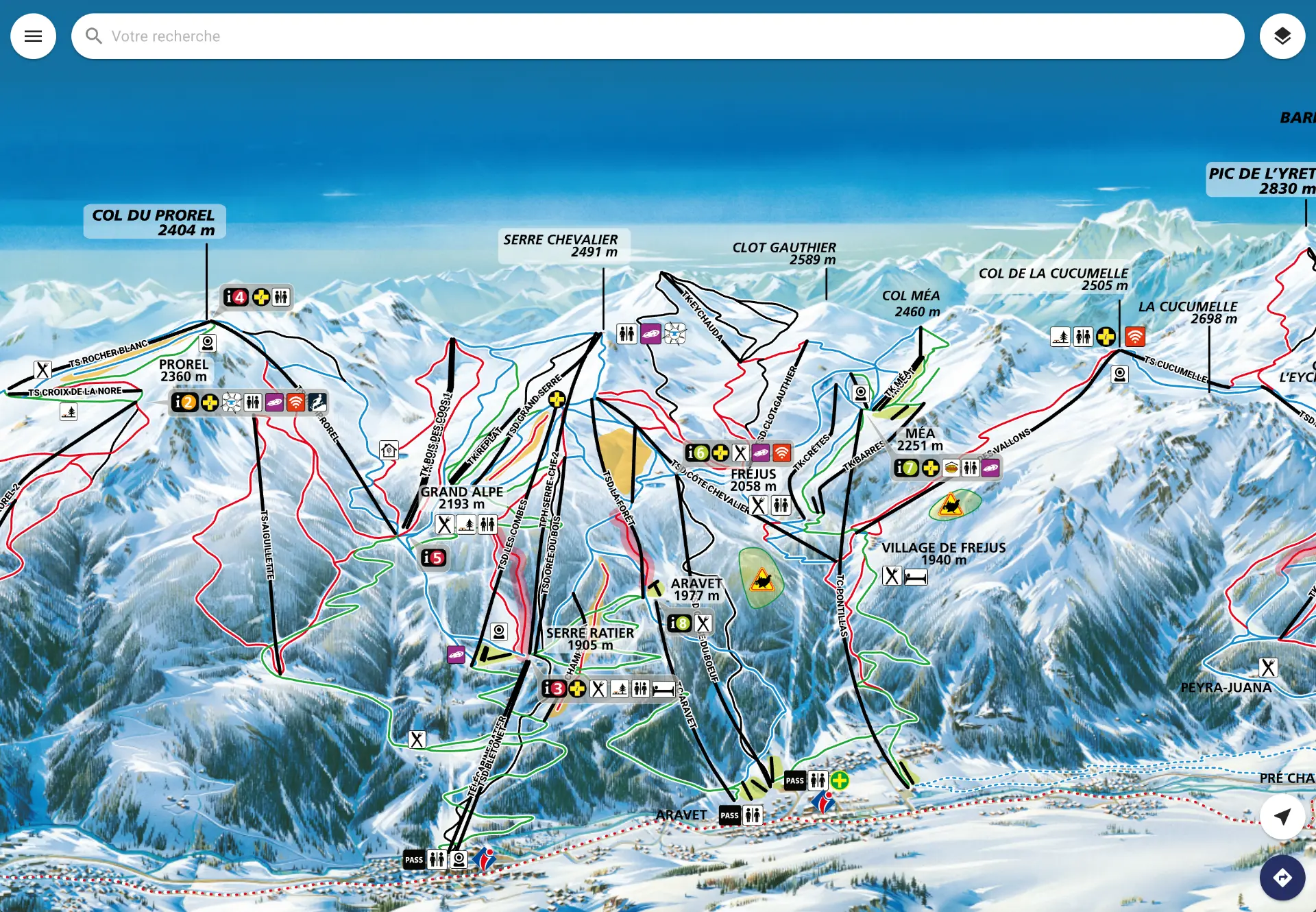
Technology at the service of user experience
Since John Sweller's work (1988), we know that a simple interface helps people understand its content. For an interactive map, the goal is therefore to reduce the cognitive load of handling it as much as possible, so visitors can fully take in what it shows. Technology must serve the map — never the other way round.
« In more than 20 years of digital projects — for the French Army, the Natural History Museum and Les 3 Vallées — we have built an expertise that lets us steer every design decision towards a user experience aligned with the latest knowledge in cognitive science. »
A choice of innovation as much as a responsible one
Less paper, more usage
Fewer printed maps every season, and a discovery experience that grows richer season after season.
Certified eco-design
Team certified in responsible digital service eco-design by GreenIT.
Your data stays yours
Fully GDPR compliant, never resold. You keep exclusive ownership.
Independent and agile
An independent team, a single point of contact, and releases that follow the rhythm of your seasons.
Certified expertise, backed by a strong ecosystem
Skills validated by recognised certifications, and public and private partners who support us.
A certified team
 Écoconception responsable de service numérique — GreenIT
 AWS Certified Solutions Architect Associate
 Opquast — niveau Expert
Supported by
 Bpifrance
 La French Tech Alpes Valence Romans
 Initiactive 26-07
 La Région Auvergne-Rhône-Alpes
 France 2030
Award-winning innovation
- Selected among the 5 startups of Pitch'Inno at the Domaines Skiables de France congress 2026
- Selected by French Tech Alpes — Tech&Fest 2026 trade show - Startup village
- Present at Mountain Planet and Alpipro — Digital Montagne
- Selected for the 2026 Auvergne-Rhône-Alpes startup mapping
- Member of Cluster Montagne
Itinemap builds the interactive maps of outdoor destinations: routing, real time and analytics.
What comes next
Itinemap keeps evolving. We talk regularly with teams in the field and add features accordingly.
Late 2026
Alert message on the map
Temporarily display a message to visitors every time the map loads.
Autumn 2026
Richer analytics
Additional insight on visitor language, search choices and map clicks.
Spring 2026
Waiting times
Connect waiting-time data, display it on the map and filter routes with that criterion.
Spring 2026
Groomed-slopes-only routing
Route calculation taking only groomed slopes into account.
September 2025
Suggested routes
Building on on-demand routing, administrators can add stages, text and photos to a suggested route (API & Admin).
Let's talk about your destination
A 30-minute call is enough to frame your project, timeline and budget.