
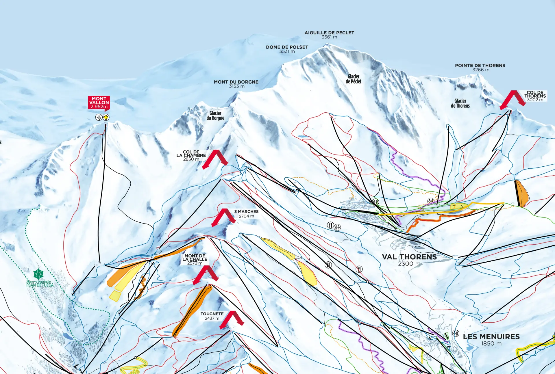
From the smallest ski area to the largest

What if your piste map were as simple and useful as Google Maps?

Combine the visual, storytelling power of your trail map with the precision and ease of navigation your visitors have used every day for over twenty years.

Request a quote
Ski resorts

Your piste map is your best discovery asset

100% of your visitors have already planned or navigated their day using an interactive map. But those maps are generic. Resorts that offer their own interactive map keep control over how their mountain is told. Itinemap adds positioning, personalised routing and a data dashboard — without ever altering its identity.

An artistic heritage, extended

Pierre Novat, James Niehues, Kaliblue, Micmap: decades of craft shaped a visual language every skier recognises instantly. Itinemap extends it with the power of modern cartography.

100% administrable solution

Stay fully in control

Visitors locate themselves, you stay in control

Your skiers see themselves in real time on your map and spot the nearest lifts, restaurants or rest areas — with positioning accurate down to the turn.

Routing that follows your rules

Skiers reach a summit, their friends or the nearest restaurant by the route best suited to their level. You administer the paths according to your criteria and the day's opening conditions.

Administration without technical skills

Update opening hours, events or sector openings in a few clicks and instantly highlight what makes your resort special.

Clear reading at every zoom level

Use Itinemap's differentiated display to deliver the most suitable level of information detail.

Your resort's activity at a glance

Visualise run usage and the most popular areas with your data dashboard and its heatmaps, and spread visitor flows precisely.

Data that finally converges

GIS, statistics, marketing and graphic identity come together on a single map, available to all your teams.

Our clients

They trust us

Les 3 Vallées

Savoie, France

Les 3 Vallées

Characteristics

Size
≈ 600 km
Altitude
1 100 – 3 230 m
  • 3,800 triangulation points for unprecedented positioning accuracy
  • Accuracy maintained to 250 m in the most demanding areas of the resort
  • The largest ski area in the world, brought together on a single interactive map

Itinemap Pioneer

Baqueira Beret

Val d'Aran, España

Baqueira Beret

Characteristics

Size
≈ 170 km
Altitude
1 500 – 2 610 m
  • 130,000+ interactive map loads over the 2025-2026 season
  • 80,000 GPS positioning requests in the very first year
  • +30% adoption of the new map in the first season

Itinemap Pioneer

Serre Chevalier Vallée

Hautes-Alpes, France

Serre Chevalier Vallée

Characteristics

Size
≈ 250 km
Altitude
1 200 – 2 800 m
  • Perfect fidelity to the original map created by the Novat studios
  • A bespoke map built with the Itinemap API
  • New infrastructure added to the map right in the middle of the season

Itinemap Pioneer

Pralognan-la-Vanoise

Savoie, France

Pralognan-la-Vanoise

Characteristics

Size
≈ 26 km
Altitude
1 400 – 2 350 m
  • Vectorised artistic base faithfully preserved, with a high zoom level
  • More than 50 points of interest showcased across the resort
  • Ski touring routes highlighted and promoted

Itinemap Explorer

Grand Massif

Haute-Savoie, France

Grand Massif

Characteristics

Size
≈ 265 km
Altitude
700 – 2 500 m
  • Multi-source connections for live information, set up from the back office
  • Dynamic display of open and closed areas
  • Delivered in time for the winter season

Itinemap Pioneer

Let's talk about your destination

A 30-minute call is enough to frame your project, timeline and budget.