
Showcasing your territory's incredible assets across all four seasons: today's challenge
Hiking, trail running, MTB, bike park, explore games: Itinemap maps every activity of your territory on an interactive plan faithful to your identity.
Request a quote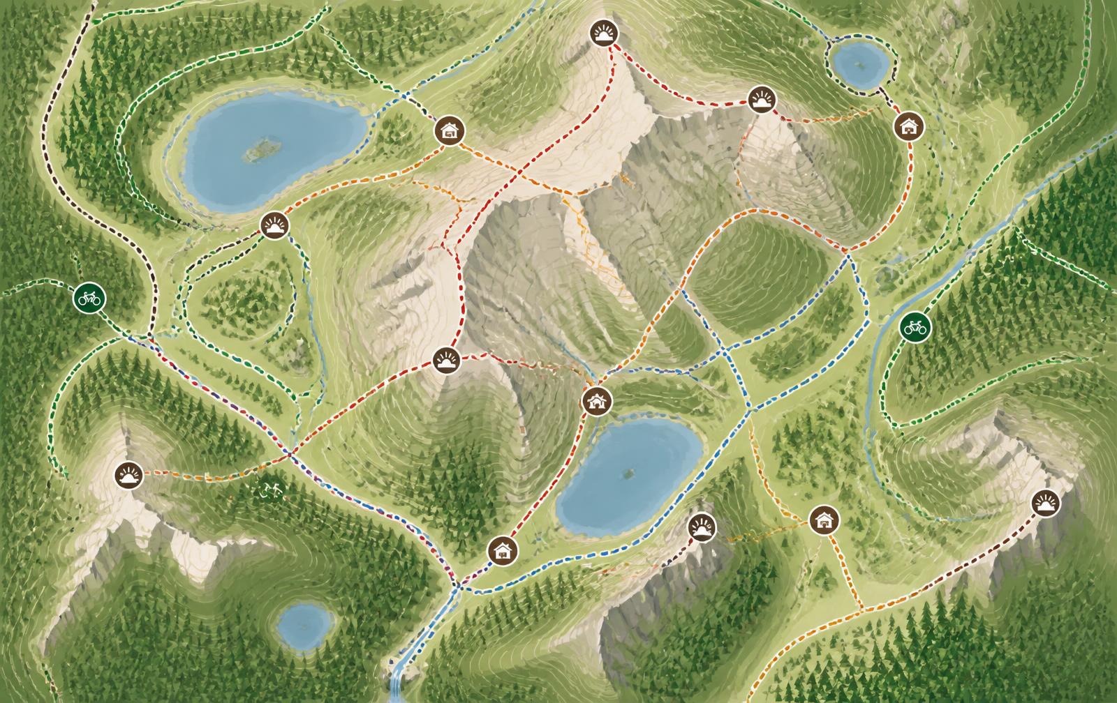
The same desire to explore — at last, a solution that answers it
Your visitors plan their outing with whatever map they have at hand. By offering yours — geo-located, up to date and designed for each activity — you keep control of how your territory is discovered and transform the visitor experience.
Your territory's identity, preserved
Upload your existing map, printed or digital: your interactive map keeps the visual identity of your territory.
Stay fully in control
One map, all your activities
Hiking trails, family loops, MTB routes, running trails and explore games coexist on a single coherent interactive map.
Routes matched to every level
MTB routes, hikes: you choose how to categorise them and your visitors pick the ones that match what they feel like doing. Every route can be downloaded as a GPX file to follow on their watch or GPS device.
Always up-to-date information
Trail opening, works, sensitive habitats: information is published in a few clicks and visible instantly.
Better spread flows
Heatmaps reveal the busiest trails and help you promote lesser-known loops.
Every outdoor destination
Ski resorts
Alpine skiing, nordic skiing, ski touring, snowshoeing. The trail map that becomes an operating tool.
Explore the platformZoos
Turn the stroll into a journey: families make the most of every moment.
Explore the platformTheme parks
Less perceived queuing, more rides actually enjoyed.
Explore the platformTourist offices & destinations
Your territory's map, alive and managed in full autonomy.
Explore the platformCampsites & holiday villages
Your campsite map, alive and guided, from the car park to the pitch.
Explore the platformLet's talk about your destination
A 30-minute call is enough to frame your project, timeline and budget.